20 Jun Levante and Poniente Winds: Everything You Need to Know for Sailing in Cádiz
If you are passionate about the sea and regularly sail around the Bay of Cádiz, or if you have your boat moored in our marina, you know perfectly well that the wind here is much more than a meteorological phenomenon; it is the engine that dictates our pace of life. At Puerto Sherry, thoroughly understanding the behavior of local winds is the first step to ensuring a safe, exciting, and pleasant voyage.
Of all the atmospheric phenomena that visit us, the Levante wind (east wind) is, without a doubt, the most famous, respected, and iconic in the region. However, it does not travel alone. Its eternal companion and antagonist creates a unique meteorological ecosystem in southern Spain. Below, we will explore in depth how these forces of nature work, how to interpret them, and how they affect sailing on our coast.
What is it and where does the Levante wind come from?
For any self-respecting sailor, understanding the origin of the gusts that propel their sails is fundamental. If you have ever wondered where the Levante wind comes from, the answer lies in the very etymology of its name and a complex dance of atmospheric pressures on a continental level.
The term “Levante” refers to the cardinal point East, the place where the sun “rises” (se levanta) at dawn. Meteorologically speaking, this wind originates mainly during the summer months due to the pressure difference between two atmospheric giants. On one side, we have the robust Azores high-pressure system (anticyclone), located in the North Atlantic, and on the other, a thermal low-pressure system that forms over the northwest of the African continent, usually over the Atlas Mountains.
This conjunction causes the air to circulate counterclockwise around the African low, generating a constant flow of air that travels from east to west across the western Mediterranean Sea until it reaches our shores.
The Levante Wind in Cádiz: A Unique Phenomenon in the Strait
Although this airflow affects the entire Spanish Mediterranean coast, the Levante wind in Cádiz has very specific and extreme characteristics. As the air moves westward, it encounters a colossal natural funnel: the Strait of Gibraltar.
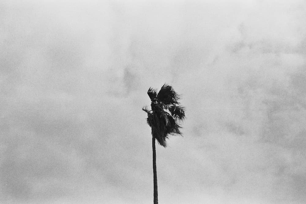
Flanked by the mountain ranges of southern Andalusia and the Atlas Mountains in North Africa, the low-level air is forced to compress and accelerate to pass through this narrow channel. It is here that the wind reaches its maximum virulence, easily exceeding 50 km/h of sustained speed and registering gusts that can surpass 100 km/h. When these conditions are maintained continuously for several days, locals refer to them as levanteras, episodes that can last between seven and ten days.
In the Bay of Cádiz and El Puerto de Santa María, the Levante reaches us transformed. Upon crossing the foothills of the Baetic System, the air loses its moisture and descends towards the Atlantic coast, warming rapidly—a meteorological phenomenon known as the Foehn effect. For this reason, the Levante at Puerto Sherry is perceived as a warm and very dry wind. As a nautical curiosity, prolonged seasons of Levante clean the waters of our bay, dissipating the algae and leaving the sea a spectacular crystalline turquoise tone, perfect for motor boating or anchoring under the shelter of the coast.
Reading the Maps: Levante Wind Symbol Arrows
To plan a sea trip from the pontoons of Puerto Sherry, reading the weather reports is an indispensable ritual. When observing the forecast charts, it is crucial to know how to identify the direction and strength of the airflow.
If you look for the Levante wind symbol arrows on an app or a traditional weather map (such as isobar maps or GFS models), you will see that the wind barbs indicate where the flow is coming from. In this case, the Levante wind arrow will always point or originate from the right side of the map (the East) heading towards the left (the West). Recognizing these visual symbols will allow you to anticipate the strength of the Strait’s funnel and decide whether it is a good day to sail inside the bay or if it is preferable to perform maintenance tasks at your mooring.

The Eternal Duality: Levante and Poniente
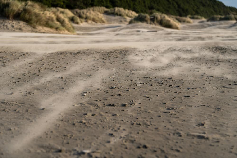
In the Cádiz province, it is impossible to talk about one wind without mentioning its counterpart. The relationship between Levante and Poniente completely defines the geography, the wildlife, the dunes of our beaches, and, of course, the activity in any marina. This balance between East and West is what makes sailing on the Costa de la Luz so dynamic and varied throughout the year.
Characteristics of the Poniente Wind
If the Levante brings heat and dryness to our area, the Poniente wind (west wind) is the great reliever of the Andalusian summer. As its name suggests, it comes from the West, the place where the sun sets (se pone). Generally speaking, westerly winds drag the low-pressure systems and moisture from the Atlantic Ocean towards the interior of the Iberian Peninsula.
In our region, Poniente winds are usually gentler and more constant than the violent eastern gusts. Coming loaded with marine moisture, the Poniente drastically reduces summer temperatures, acting as a natural air conditioner that rarely allows thermometers to exceed 30 ºC on the coast. Furthermore, this wind carries seawater particles rich in iodine and negative ions, making the breeze at the Puerto Sherry marina an incredibly healthy and refreshing experience.
The Impact of the Poniente Wind and the Tide
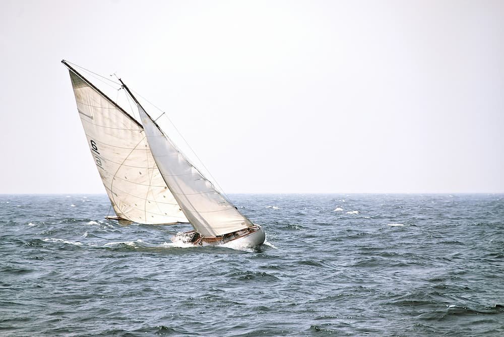
A vital technical factor for sailors and regatta racers in the bay is the interaction of the Poniente wind and the tide. Unlike the Levante, which flattens the sea on the Cádiz Atlantic coast by blowing from land to sea (offshore), the Poniente blows from the ocean towards the coast (onshore).
This generates a characteristic swell (groundswell and wind wave) that interacts directly with the strong tidal currents typical of the Gulf of Cádiz. When the Poniente wind blows in the opposite direction to the tidal current (for example, during the ebb tide in certain areas of the estuary), short and steep waves can rise, which are uncomfortable for smaller vessels. Conversely, sailing with Poniente during low tide or slack water usually offers much smoother journeys. Knowing the tide table before casting off with a Poniente wind is one of the great lessons learned in our marina.
Puerto Sherry: Your Ideal Base for Any Condition
Knowing the winds means mastering navigation. The privileged location of Puerto Sherry in El Puerto de Santa María makes us a strategic refuge regardless of whether the Levante or Poniente is blowing. Our facilities are designed to protect your boat from storms, while the configuration of the Bay of Cádiz allows you, in most cases, to find sheltered sailing areas or spectacular regatta courses adapted to the strength of Aeolus.
Whether you are looking for the thrill of riding the Atlantic waves with a fresh Poniente, or you prefer to take advantage of the flat sea left by the Levante for a quiet day of anchoring, the key lies in knowledge, foresight, and respect for the marine environment.